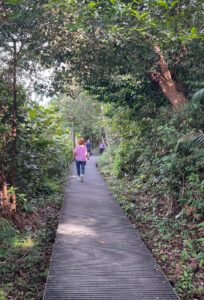
I’ve come to Singapore to visit our team and get some work done locally next week. I try to arrive always over the previous weekend to acclimatise to the timezone better. This weekend I decided to spend some time getting to know Singapore’s nature in the form of a 13km hike from the MacRitchie Reservoir to the newly created Rifle Range Nature Park. This route also included the TreeTop Walk about halfway through.
I started off by taking the MRT from my hotel to Marymount station. I haven’t used the MRT in Singapore since the beginning of the pandemic and I was happy to realise you can also pay now with your phone or credit card directly, just like in London. However, unlike in London, the MRT does not take advantage of the Express Travel mode and you actually have to confirm the payment with a passcode or Face ID, which doesn’t work optimally given masks are still required. Anyways, a small challenge if anything.
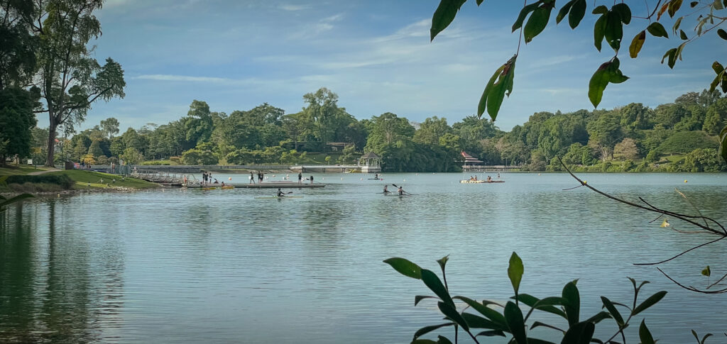
From Marymount MRT it was about 800 metres walk to the edge of the MacRitchie Reservoir. I arrived around 9.30 am and it was already busy with people. Many take advantage of the slightly cooler sun in the morning to get their outdoor exercise done.
I walked by the reservoir via the Prunus Trail and Petai Trail. Both were nicely done boardwalks and walking was easy and fast. I was first amused why everything had been covered so well, but I assume the amount of people taking advantage of the region would probably cause more damage to the nature if no man-made assistance was available.
After the above-mentioned trails, a natural earth-based trail began and curved upwards to the side of the Island Club Road. From there, a small walk on the asphalt road to get to the ranger station from where one more asphalt-based road up to the TreeTop walk.
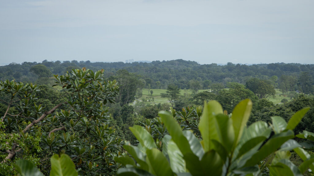
The TreeTop Walk is a one-way bridge with quite a few monkeys enjoying the scenery as well. It is quite narrow and as it is one-way, you will need to pace yourself with other visitors taking photos and enjoying the sights. After the TreeTop Walk, it was pretty much downhill, literally speaking, as I walked down multiple stairs to get back on the trail.
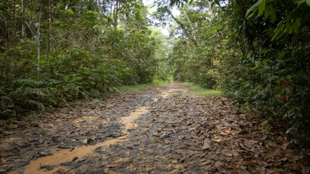
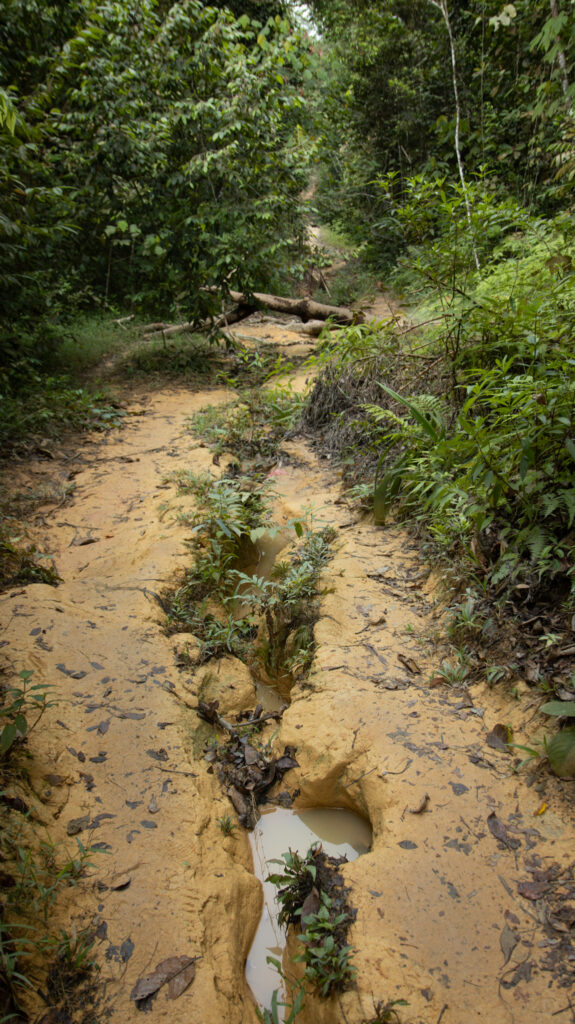
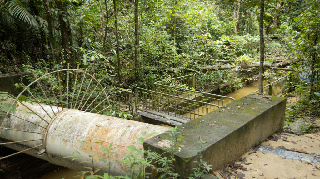
From here, the longest straight path of the whole hike ensued and I took a “shortcut” from the route to get to the Bukit Timah Nature Reserve trail slightly faster. This included a waterway crossing over a small bridge. After some more trails, it was back to roads towards the new Rifle Range Nature Park. The park is brand new and it was opened in late 2022. The main attraction is a quarry, which includes a lookout point at the top and a boardwalk at the bottom.

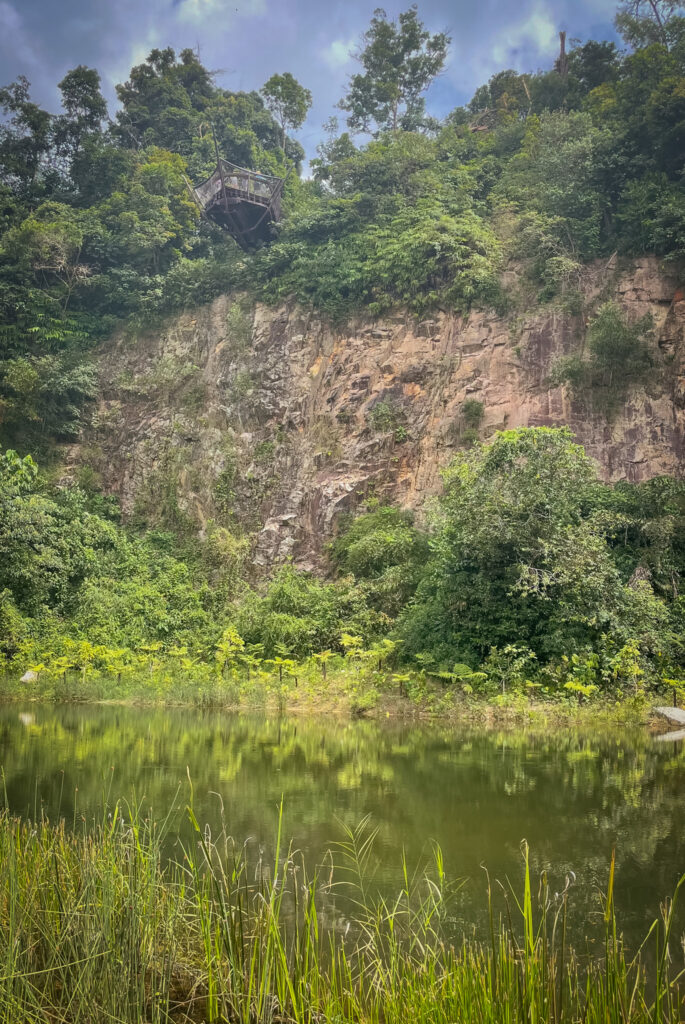
From the visitor pavilion, it was a short walk to Beauty World, an old shopping mall. You will need to go through the mall and to the ground floor. You will find the MRT station by the road, next to the bus stops and taxi stands.
I really enjoyed the walk and even though it was a lot busier than similar walks in Europe or Finland, it was great to see nature a bit more. I was unable to see that many animals apart from a few butterflies and tons of monkeys. Nevertheless, you don’t need to walk this exact route if you want to visit the area, there are many alternatives available from just a few kilometres to even something closer to 20km, if you were to circle the Bukit Timah Nature Reserve. For me, the 3h of hiking was plenty on my first day and after an inadequate sleep the previous night.
